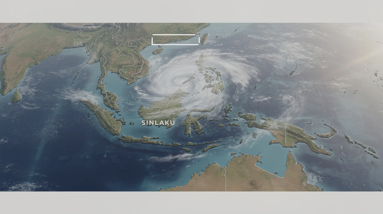
The Philippine Atmospheric, Geophysical and Astronomical Services Administration (PAGASA) reported Thursday that the ridge of a High Pressure Area (HPA) is extending over Northern and Central Luzon.
Simultaneously, localized thunderstorms are forecast to bring isolated rain showers across many parts of the country throughout the day.
This combination creates a mixed weather pattern, with the HPA generally suppressing widespread rain but thunderstorms developing due to heat and humidity.
Metro Manila and the rest of the Philippines will experience partly cloudy to cloudy skies with isolated rain showers or thunderstorms.
These conditions are attributed directly to localized thunderstorms, not a large-scale weather system.
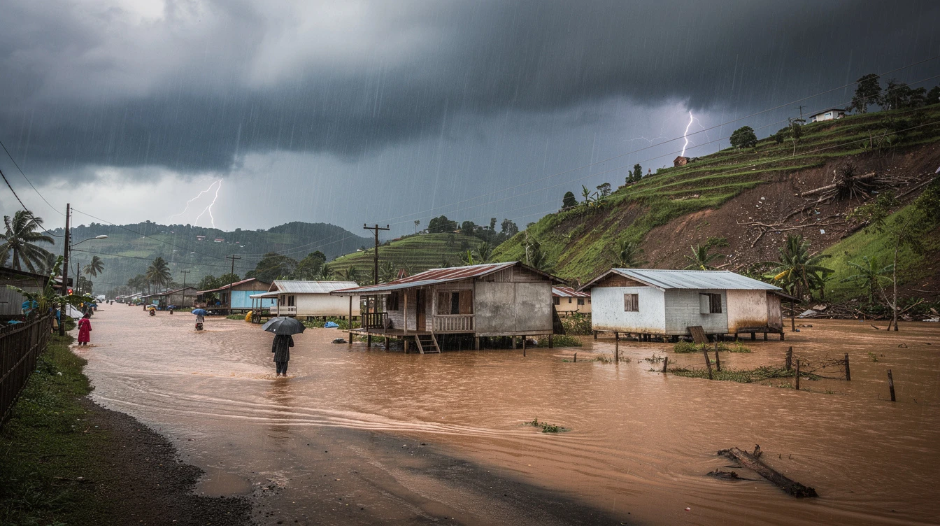
"The public is advised to remain vigilant against flash floods or landslides during severe thunderstorms," a PAGASA forecaster stated in the bulletin.
The weather agency emphasized that thunderstorms can form rapidly, bringing intense but short-lived heavy rain, gusty winds, and lightning.
For Northern and Central Luzon, wind speeds will be light to moderate coming from the east to southeast direction.
Coastal waters in these regions are expected to be slight to moderate, posing minimal hazard to most vessels.
The rest of the country, including the Visayas and Mindanao, will have light to moderate winds from the east to northeast.
Coastal waters nationwide are forecast to remain slight to moderate, according to PAGASA's marine weather guidance.
The presence of the HPA ridge typically leads to warmer temperatures and generally fair weather in areas under its influence.
However, the high heat and humidity can fuel the development of the isolated thunderstorms mentioned in the forecast.
This is a common weather pattern during the transition periods between the country's rainy and dry seasons.
Residents, especially in low-lying and mountainous areas, are cautioned to monitor local conditions closely.
Local government units and disaster risk reduction offices are advised to be on standby for possible quick response.
The forecast has significant implications for daily life across the Philippine archipelago.
For the agricultural sector in Luzon, the HPA may bring sunnier conditions beneficial for certain crops.
Yet, sudden thunderstorms can disrupt harvesting activities and damage produce if they become severe.
Transportation, both land and sea, is expected to proceed normally given the forecast for slight to moderate seas.
Air travel is also unlikely to face major disruptions from the prevailing weather systems.
However, commuters in urban areas like Metro Manila should prepare for possible traffic delays during afternoon downpours.
For the millions of Filipino families, this weather pattern means a typical day with a chance of unexpected rain.
Parents sending children to school and outdoor workers are advised to carry umbrellas or rain protection.
The forecast is particularly relevant for the vast network of Overseas Filipino Workers (OFWs) concerned about family safety.
Knowing that no major storm is threatening the homeland provides reassurance to OFWs worldwide.
This routine weather update underscores the importance of heeding official forecasts from PAGASA.
Relying on accurate information helps Filipinos plan their days, protect their livelihoods, and ensure their safety.
Staying informed through official channels remains the best defense against weather-related inconveniences and hazards.