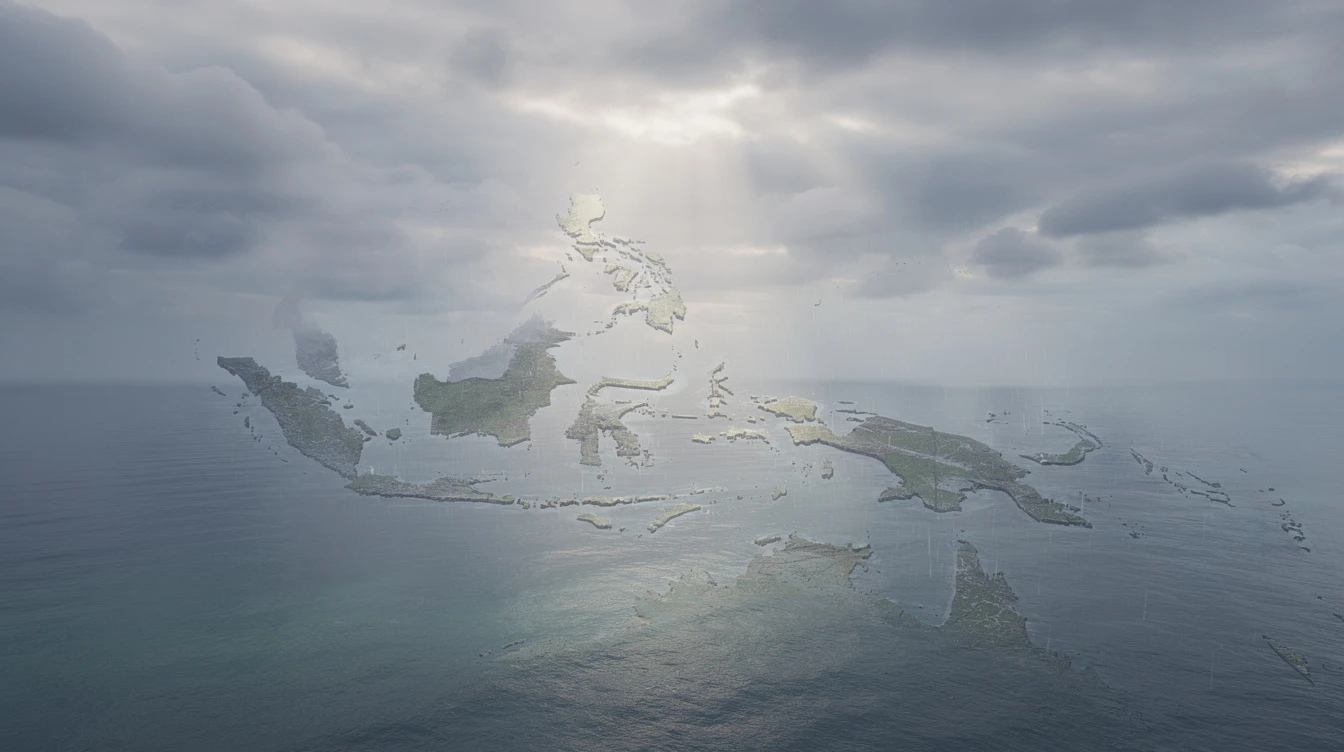
The Philippines, an archipelago of 7,641 islands spanning from 116°E to 127°E longitude and 5°N to 21°N latitude, confronts some of the most volatile weather systems on the planet. Positioned directly along the Pacific typhoon belt and beneath the intertropical convergence zone (ITCZ), the nation experiences a meteorological reality that shapes daily life, agricultural cycles, and long-term economic planning for more than 110 million people. Understanding these patterns is not merely an academic exercise—it is a matter of survival for communities scattered across a geography uniquely exposed to nature's most powerful forces.
A Nation Defined by Weather
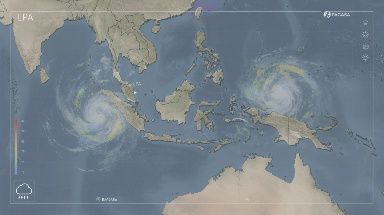
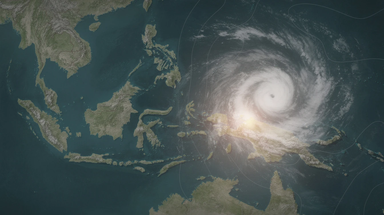
The country's geographic placement makes it one of the most climate-vulnerable nations on Earth. Every year, tropical cyclones barrel in from the Pacific, the monsoons sweep across the islands in predictable yet punishing rhythms, and heat waves push temperatures to extremes that test human endurance. For Filipino meteorologists and disaster officials, this constant state of readiness has become a way of life.
The Philippines employs a system known as the Modified Coronas Classification System to categorize its diverse climate patterns, recognizing four distinct types across different regions:
- Type I: Two distinct seasons—wet from June to November and dry from December to May
- Type II: No dry season, with maximum rainfall concentrated from November to January
- Type III: Less pronounced seasonal changes, featuring only a short dry period
- Type IV: Rainfall distributed relatively evenly throughout the year
This classification system reflects the complex interplay between ocean currents, mountain ranges, and atmospheric forces that produce dramatically different weather experiences within a single nation.
The Battle of the Monsoons
Two opposing seasonal winds dominate the Philippine气象 landscape, each bringing fundamentally different conditions that define the rhythm of the year.
From October through March, the Amihan—the northeast monsoon—sweeps across the archipelago. Originating from continental Asia, this wind carries cooler, drier air that provides relief to the northern and central regions. The Amihan's influence peaks between November and February, offering a respite from the humidity that characterizes much of the year.
The contrast with the Habagat, or southwest monsoon, could not be more stark. Active from June to October, this system draws warm, moisture-laden air from the Pacific Ocean and the South China Sea. The Habagat delivers the majority of the country's annual rainfall, transforming rivers, swelling dams, and repeatedly testing the nation's infrastructure and emergency response systems.
Heat, Rain, and Geographic Extremes
Temperature patterns across the Philippines reflect its island geography and varied topography. Coastal lowland areas maintain a year-round range of 25°C to 32°C, while inland and elevated regions register temperatures generally five to seven degrees cooler. The most intense heat arrives between March and May, when heat index values frequently climb beyond comfortable thresholds and strain public health systems.
Rainfall distribution tells an equally dramatic story. The country receives an annual average of 2,000 to 3,000 millimeters of precipitation, but this rainfall is far from evenly spread. The provinces of Batanes, Northern Samar, and Surigao del Sur record some of the heaviest totals, as do the western slopes of mountain ranges that wring moisture from passing clouds. Meanwhile, areas such as Palawan, the Zamboanga Peninsula, and western Visayas experience comparatively drier conditions, creating pockets of relative aridity within a generally wet nation.
Living With Permanent Weather Vigilance
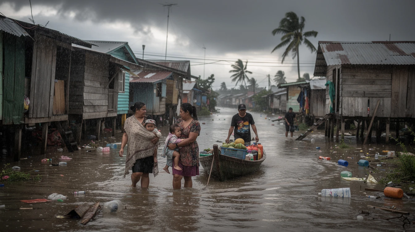
For Filipino households, schools, and businesses, weather awareness is not seasonal—it is perpetual. Farmers time their planting and harvesting to the monsoons, knowing that mistimed decisions can mean crop failure. City planners design drainage systems calculated to handle the heaviest rains. Families maintain emergency supplies, aware that the next tropical cyclone may require evacuation at any moment.
The country's meteorological agencies maintain constant monitoring through a network of observation stations, satellite feeds, and international data-sharing agreements. When a disturbance forms in the Pacific, Filipino forecasters often have days to track its development, issue watches, and coordinate with local government units—a critical advantage in a nation where infrastructure cannot always withstand nature's full fury.
Yet for all the preparation, the weather remains an unpredictable force that shapes politics, economics, and daily existence in ways that residents of more temperate climates can barely imagine. In the Philippines, understanding the skies is not just science—it is survival.