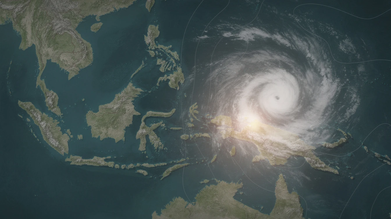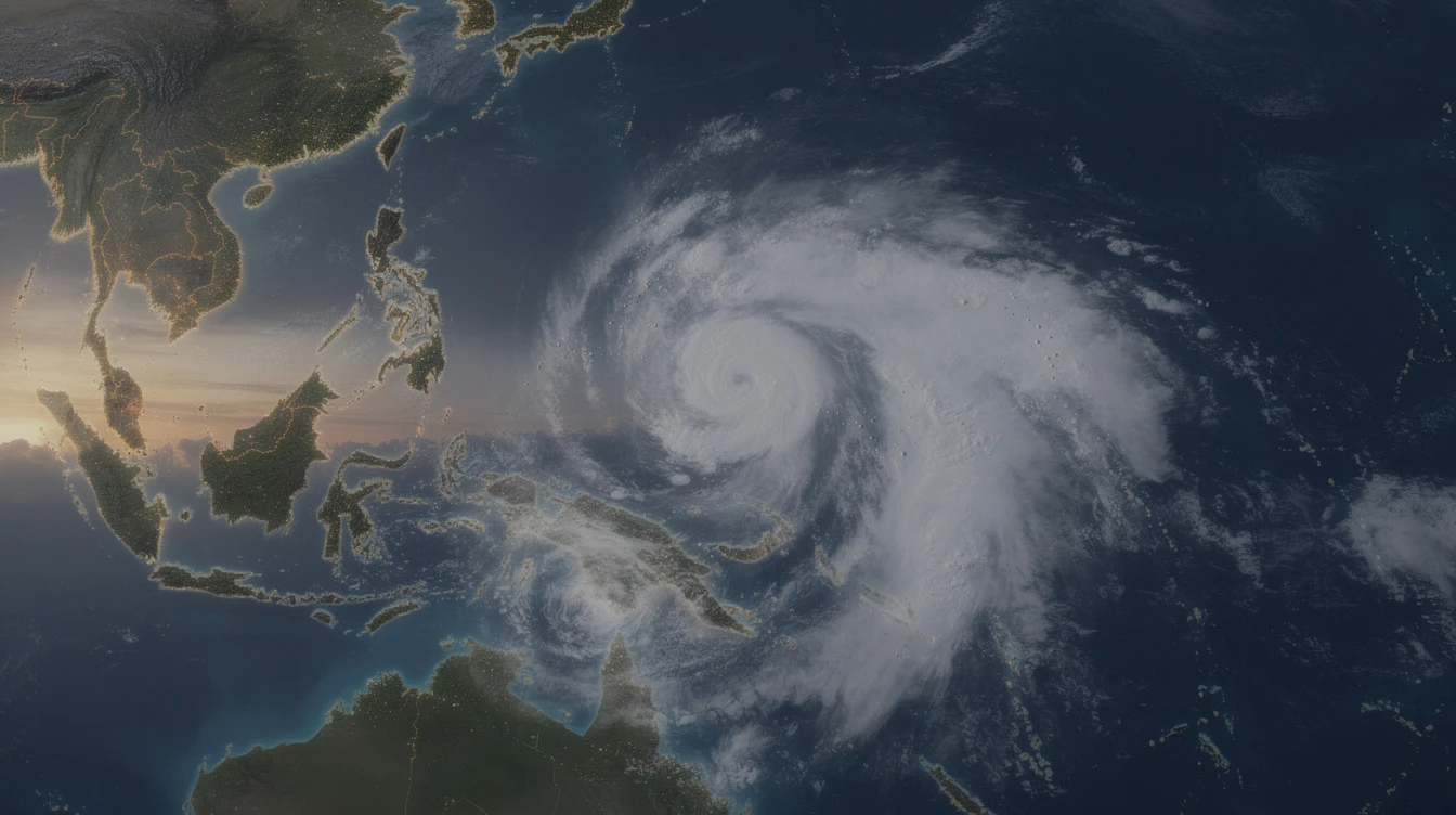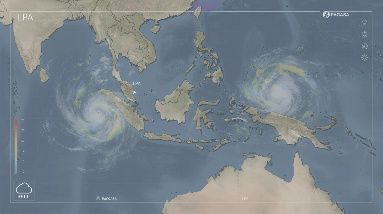
The Philippine Atmospheric, Geophysical and Astronomical Services Administration (PAGASA) is currently tracking two low pressure areas (LPAs) near the country. Both weather systems are unlikely to develop into a tropical depression within the next 24 hours, the state weather bureau said on Sunday.
LPAs Monitored by PAGASA
According to PAGASA, the first LPA was spotted at 430 kilometers east of Infanta, Quezon as of 3 a.m. Sunday. The second LPA was located at 1,045 kilometers east of Eastern Visayas.
The bureau said both LPAs have minimal chances of intensifying into a tropical depression in the short term. However, they will continue to be monitored for any changes in their structure and movement.
Low Probability of Development
Weather specialist Ian De Guzman of PAGASA told reporters that the two LPAs are carrying disorganized cloud clusters. This disorganization reduces the likelihood of them becoming a tropical depression within the next 24 hours.
“
The LPAs are still over the Philippine Sea and have not yet developed a closed circulation. We see less than a 30 percent chance of them becoming a depression in the next day,” De Guzman said in a briefing.
Rainfall Expected in Several Areas
Despite their weak structure, the LPAs will bring cloudy skies and scattered rain showers over parts of the country. The Bicol Region,Eastern Visayas, and Caraga may experience moderate to heavy rains starting Sunday afternoon.
PAGASA advised residents in these areas to remain alert for possible flash floods and landslides, especially in mountainous and low-lying communities. Fishermen and small boat operators were also warned of moderate seas in the eastern sections of the country.
No Direct Impact on Metro Manila
The two LPAs are not expected to directly affect Metro Manila. The capital region will continue to experience partly cloudy to cloudy skies with isolated rains due to the southwest monsoon or habagat.
PAGASA said the habagat will remain weak in the coming days. This means monsoon rains will be sporadic and not persistent.
Previous LPA Caloy Dissipates
The new LPAs come after former tropical depression Caloy weakened into an LPA last week. PAGASA earlier reported that Caloy was unlikely to revert into a tropical depression.
Caloy brought rain over parts of Luzon and the Visayas before dissipating over the Philippine Sea. No significant damage or casualties were reported from that system.
The bureau noted that the presence of two LPAs simultaneously is not unusual for this time of year. The rainy season, which began in late May, typically brings multiple low pressure areas across the archipelago.
Public Urged to Stay Updated
PAGASA urged the public to stay updated on weather bulletins, especially those in areas prone to flooding and landslides. The bureau issues regular weather advisories through its website and social media channels.
Local disaster risk reduction and management offices were also advised to remain on standby. Preemptive evacuation may be necessary in communities near rivers and slopes if rain becomes continuous.
“
We remind everyone not to let their guard down. Even if these LPAs are unlikely to become depressions, they can still bring heavy rain that may cause localized hazards,” De Guzman said.
Forecast for the Next 48 Hours
In the next 48 hours, PAGASA expects the LPAs to drift slowly westward. One of them may move closer to the eastern seaboard of Luzon, while the other could stay over the Philippine Sea near Eastern Visayas.
If either system shows signs of intensification, PAGASA will immediately raise appropriate warnings. For now, the official outlook remains that both will remain LPAs.
The state weather bureau is also monitoring a possible LPA formation outside the Philippine area of responsibility. That system is still far and poses no immediate threat.
Conclusion
The two LPAs tracked by PAGASA are unlikely to develop into a tropical depression in the next 24 hours. However, they will still bring rain to parts of Luzon, Visayas, and Mindanao. The public is advised to monitor official updates and stay prepared for any changes in weather conditions.