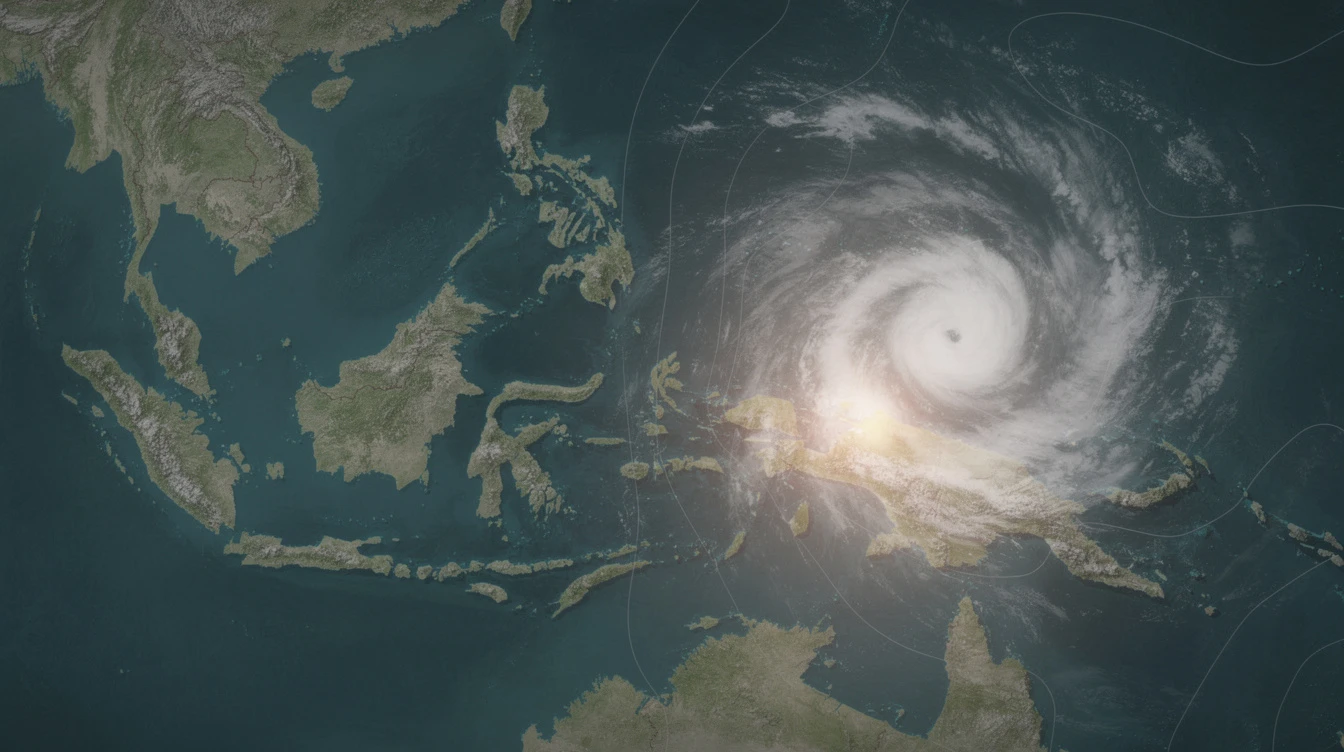
MANILA, Philippines — Tropical Storm Hagupit (international name) has maintained its strength as it moves westward over the sea south of Guam, according to the Philippine Atmospheric, Geophysical and Astronomical Services Administration (PAGASA). The storm is expected to enter the Philippine Area of Responsibility (PAR) over the weekend.
Storm Location and Movement
In its 5 a.m. advisory on Thursday, May 7, PAGASA said Hagupit was estimated at 1,995 kilometers east of southeastern Luzon. The storm was moving westward at a steady pace as of 4 a.m.
PAGASA weather specialist Chenel Dominguez earlier said the cyclone may enter PAR from Friday evening to Saturday. It could enter as a tropical storm or a stronger category.
Intensification and Weakening Forecast
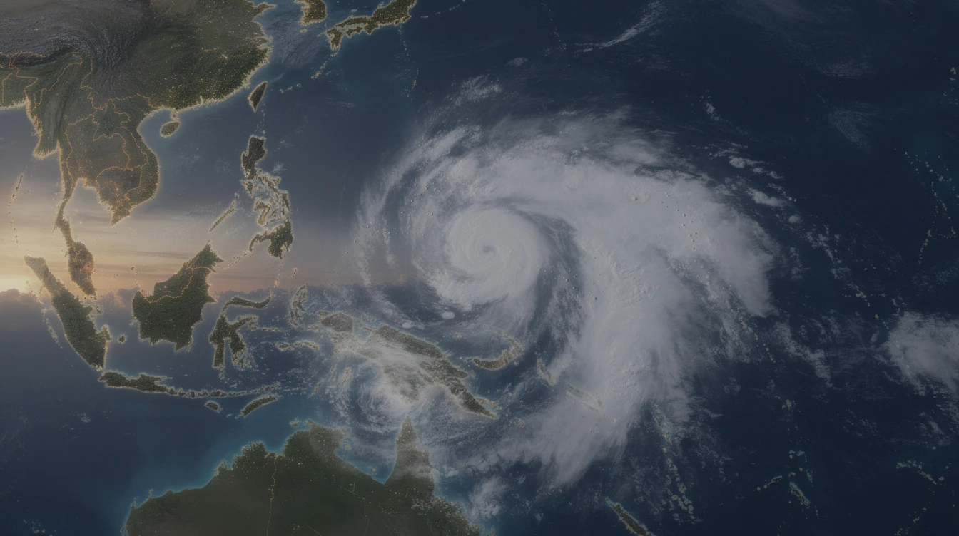
PAGASA said Hagupit will further intensify as a high-end tropical storm in the coming days. However, it will begin to weaken by Tuesday, May 12, and may be downgraded to a tropical depression over the Philippine Sea.
The weather bureau added that Hagupit is less likely to directly affect weather and sea conditions in the Philippines within the next three days.
Local Name Assigned
Once Hagupit enters PAR, it will be locally named Caloy. It will be the country’s third tropical cyclone this year.
Low Pressure Area Brings Rain to Visayas, Mindanao
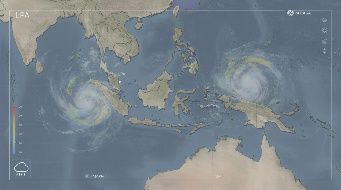
Meanwhile, a separate low pressure area (LPA) inside PAR continues to approach east of Hinatuan, Surigao del Sur. PAGASA said the LPA is still not expected to develop into a tropical depression.
The LPA is causing scattered rain and thunderstorms in Caraga, the Davao Region,Siquijor,Misamis Occidental,Misamis Oriental,Camiguin,Eastern Visayas, and Bohol in the coming hours.
Cebu, which is currently hosting the 48th Association of Southeast Asian Nations (Asean) Summit and Related Meetings, could also see rain from the LPA in the next couple of days.
“It may enter PAR as a tropical storm or a stronger category and will be locally named Caloy … It is expected to bring cloudy skies with scattered rains and thunderstorms over Eastern Visayas, Caraga, and the Davao Region in the next 24 hours,” PAGASA said in an earlier forecast.
State of Asean Events Unaffected
Officials earlier assured that the Asean 2026 Summit in Cebu would push through despite weather threats. The LPA’s effects are not expected to disrupt the summit schedule.
The Philippine government has activated contingency measures for the event, including standby emergency response teams and weather monitoring protocols.
No Direct Impact Expected in Next Three Days
For now, PAGASA said Hagupit is unlikely to bring significant weather or sea disturbances to the country until at least Sunday. The public is advised to monitor updates as the storm moves closer to PAR.
The weather bureau continues to track the storm’s path and intensity. It urged residents in eastern sections of the country to stay alert for possible changes in the forecast.
Hagupit is the second tropical cyclone monitored by PAGASA outside the country this year. It developed from a low pressure area that formed on Monday, May 4, and intensified into a tropical depression the following day before becoming a tropical storm on Wednesday, May 6.
Forecast for the Weekend
PAGASA said that by Sunday, Hagupit may enter PAR and bring cloudy skies with scattered rains and thunderstorms over parts of Eastern Visayas, Caraga, and the Davao Region.
The state weather bureau will issue updated advisories as the storm approaches. It reminded the public not to lower their guard and to continue monitoring official bulletins.
As of Thursday midday, PAGASA said Hagupit maintained its strength. The storm’s interaction with the environment over the Philippine Sea will determine its intensity in the coming days.