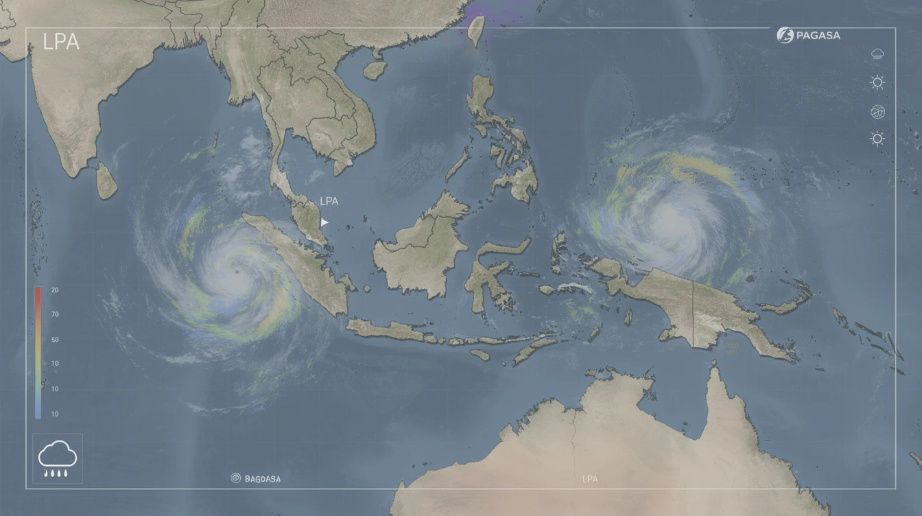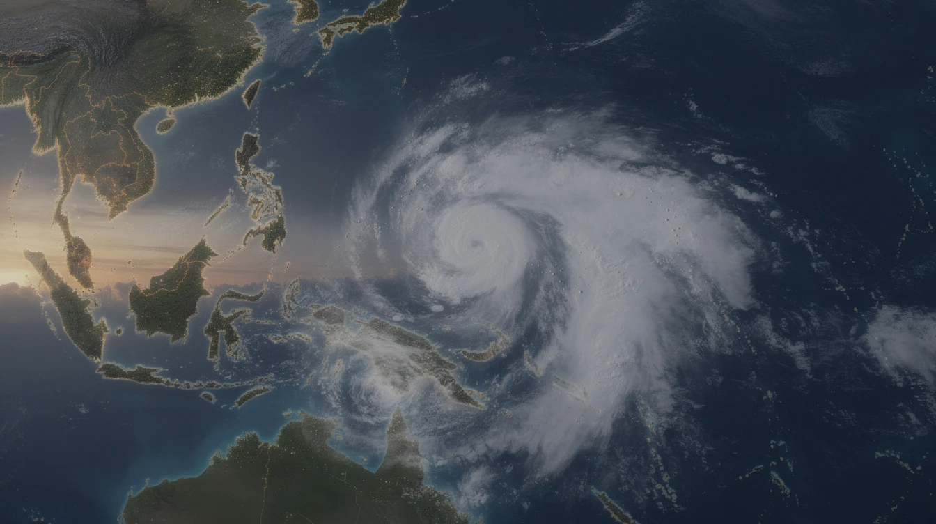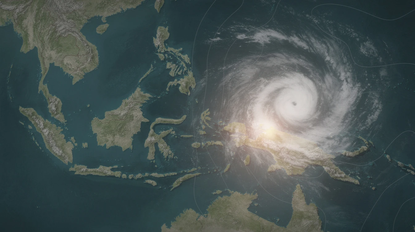
Tropical Storm Caloy has slightly decelerated while moving over the Philippine Sea east of Northeastern Mindanao, the state weather bureau reported on Saturday.
The storm was last spotted approximately 910 kilometers east of Northeastern Mindanao as of 4:00 a.m., according to the Department of Science and Technology – Philippine Atmospheric, Geophysical and Astronomical Services Administration (DOST-PAGASA).
Caloy packs maximum sustained winds of 65 kilometers per hour and gusts of up to 80 kilometers per hour, with a west-northwestward movement at 20 kilometers per hour.
Caloy Expected to Avoid Landmass
PAGASA said the storm is expected to remain far from the Philippine landmass throughout the forecast period.
Forecasters do not anticipate any direct impact on the country as Caloy is projected to stay over the open sea.
The weather bureau added that the storm may weaken into a tropical depression within the day as it encounters less favorable atmospheric conditions.
No Tropical Cyclone Wind Signals
As of the latest bulletin, no tropical cyclone wind signals have been raised in any part of the Philippines.
The state weather agency said that even as the storm approaches, it will remain too far to trigger any wind warnings over land areas.
Fisherfolk and small boat operators, however, were advised to monitor updates as sea conditions could still become rough in the eastern seaboard of Mindanao due to the storm's presence.
Storm Expected to Dissipate Over the Sea
PAGASA's forecast track shows Caloy continuing on a west-northwestward path before gradually weakening.
The storm is unlikely to intensify further due to wind shear and cooler ocean temperatures along its track, forecasters said.
"The storm may weaken into a tropical depression later today," PAGASA said in its bulletin. "It is not expected to directly affect the country."
Caloy is the first tropical cyclone to enter the Philippine area of responsibility in 2026. Storm names in the Philippines are taken from a rotating list maintained by PAGASA.
Public Advised to Stay Vigilant
Although Caloy poses no immediate threat, PAGASA reminded the public to remain alert for sudden changes in weather patterns.
The northeast monsoon, or amihan, continues to affect parts of Luzon, bringing cooler temperatures and isolated rains.
PAGASA said it will continue to issue regular updates on the storm's movement and intensity.
The next advisory is scheduled for 11:00 a.m. Saturday.