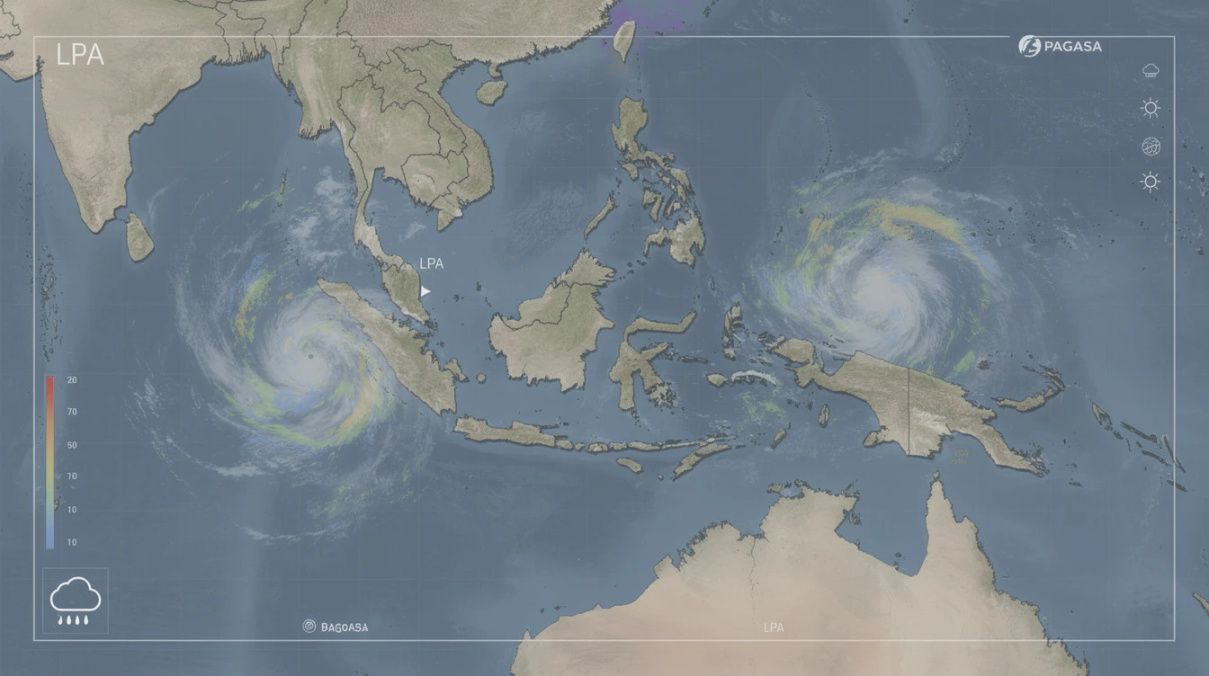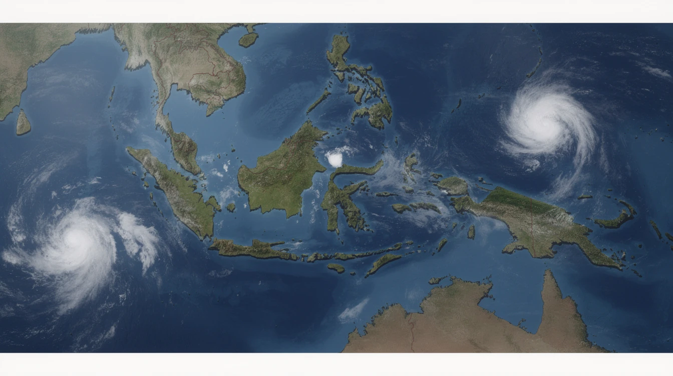
The Philippine Atmospheric, Geophysical and Astronomical Services Administration (PAGASA) is closely monitoring two Low Pressure Areas (LPAs) located outside the Philippine Area of Responsibility (PAR), with one already developing into a tropical depression, the state weather bureau reported on Wednesday, April 2, 2025.
First LPA Intensifies Into Tropical Depression
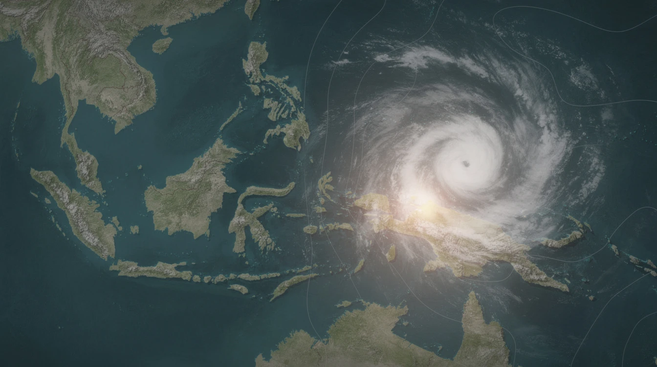
As of 8:00 p.m. on Wednesday, one of the LPAs situated east of northeastern Mindanao has intensified into a tropical depression, according to PAGASA. The system was initially observed outside PAR before its development into a tropical depression.
The tropical depression is currently moving westward and may enter PAR within 24 to 48 hours, the weather bureau said. Once inside Philippine territory, it will be assigned a local name from the agency's rotating list of typhoon names.
Even while the system is still outside PAR, we are already monitoring its behavior and possible effects on several regions,
PAGASA said in its weather bulletin. The bureau emphasized its continuous surveillance of the developing weather disturbance despite its current position outside Philippine boundaries.
Potential Rainfall and Weather Impact
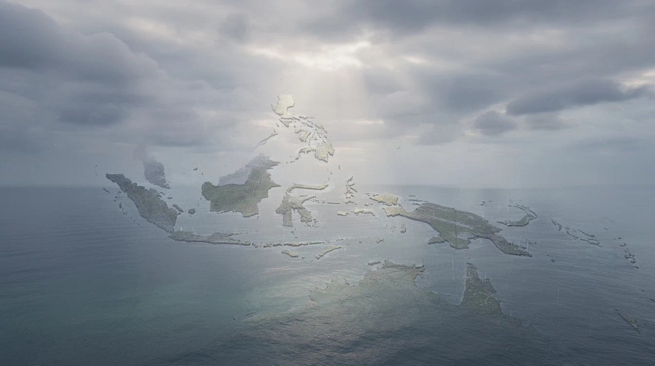
PAGASA warned that the tropical depression could bring moderate to heavy rainfall over Eastern Visayas and the Caraga region as it approaches the country. Scattered rains and thunderstorms are possible even before the system officially enters PAR.
The weather bureau also noted that once the system enters PAR, it may trigger enhanced monsoon rains across Luzon and Visayas in the coming days. Residents in these areas are advised to monitor PAGASA updates for the latest forecasts and warnings.
Second LPA Shows Less Intensification Potential
The second LPA remains further east over the Pacific Ocean. PAGASA said this disturbance shows less potential for immediate intensification compared to its counterpart. However, the bureau continues to monitor its movement and development as it remains within observation range.
According to PAGASA, the second LPA is not expected to affect Philippine weather immediately. The system will be tracked as it moves generally westward over open waters.
Understanding LPAs and Tropical Cyclones
A Low Pressure Area is a region where the atmospheric pressure is lower than surrounding areas. These systems can develop into tropical depressions, tropical storms, and eventually typhoons depending on sea surface temperatures and atmospheric conditions.
Tropical depressions are classified as tropical cyclones with maximum sustained winds of up to 61 kilometers per hour. When winds exceed this threshold, the system is upgraded to tropical storm status and assigned an international name.
The Philippines uses its own naming system for tropical cyclones entering PAR. This local naming list includes names like Amang, Betty, and Chedeng, among others, which are activated annually.
Preparatory Measures Advised
PAGASA urged the public to remain vigilant and prepare for possible weather disturbances. The National Disaster Risk Reduction and Management Council (NDRRMC) has been coordinating with local government units to ensure preparedness measures are in place.
Authorities advised residents in prone areas to monitor official announcements and have emergency supplies ready. Fishermen and seafarers were cautioned against venturing into the seas during rough weather conditions.
Historical Context of April Cyclones
While the Philippines typically experiences most tropical cyclones between June and November, storms can still develop during the transition months of April and May. PAGASA records show several instances of tropical cyclones affecting the country during this period.
The development of LPAs during the dry season often results from温差 (temperature differences) between land and sea surfaces, which can trigger atmospheric instability even outside the traditional typhoon season.
State meteorologists emphasized that early monitoring allows for better preparation and response coordination among government agencies and local communities.
Ongoing Monitoring and Updates
PAGASA will issue regular weather updates as the tropical depression moves closer to Philippine territory. The public is encouraged to regularly check the agency's website and social media channels for the latest information.
The weather bureau advised local government units to conduct preemptive evacuations if necessary, particularly in areas identified as highly vulnerable to flooding and landslides.
All relevant agencies have been placed on standby to respond to any emergencies that may arise from the approaching weather system. Coordination between national and local disaster response teams continues to ensure swift action when needed.