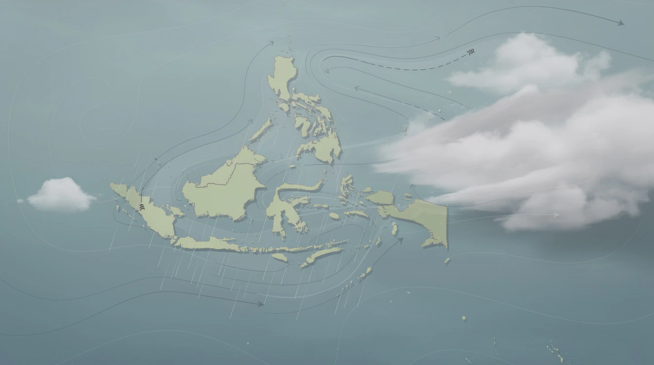
The Philippine Atmospheric, Geophysical and Astronomical Services Administration (PAGASA) has issued a fresh advisory: the easterlies are bringing cloudy skies and isolated rain showers over several parts of the country.
From Metro Manila to Mindanao , Filipinos should prepare for cloudy conditions and possible thunderstorms. Other areas, like the rest of Luzon, will experience similar weather due to localized thunderstorms.
Easterlies
This weather pattern comes as the country transitions between seasons, making it crucial for residents to stay informed about daily forecasts. Here’s a breakdown of what’s expected and how it affects you.
The easterlies are winds coming from the east, flowing across the Pacific toward the Philippines. These winds carry warm, moist air, often leading to cloudy skies and scattered rain.
When the easterlies dominate, they can trigger thunderstorms and cause flash floods or landslides in vulnerable areas. PAGASA closely monitors these winds to provide timely warnings.
Bring
For the Philippines, an archipelago located in the tropical Pacific, the easterlies are a common weather feature. Understanding them helps communities prepare for potential hazards.
According to PAGASA’s forecast on Friday, February 14, 2025, the following areas will experience partly cloudy to cloudy skies with isolated rain showers or thunderstorms due to the easterlies:
- Metro Manila
- Central Luzon
- CALABARZON
- MIMAROPA
- Bicol Region
- Visayas
- Mindanao
The rest of Luzon will have similar conditions due to localized thunderstorms. PAGASA warns that severe thunderstorms may trigger flash floods or landslides .
Sunrise in Metro Manila on Saturday is expected at 5:37 AM . The wind speed forecast for Northern and Central Luzon is light to moderate , moving from southeast to south.
Coastal waters in these areas will be slight to moderate , so fishermen and small boat operators should exercise caution. Meanwhile, the ridge of a High Pressure Area (HPA) is extending over eastern sections of Northern and Central Luzon, which may temper the rainfall.
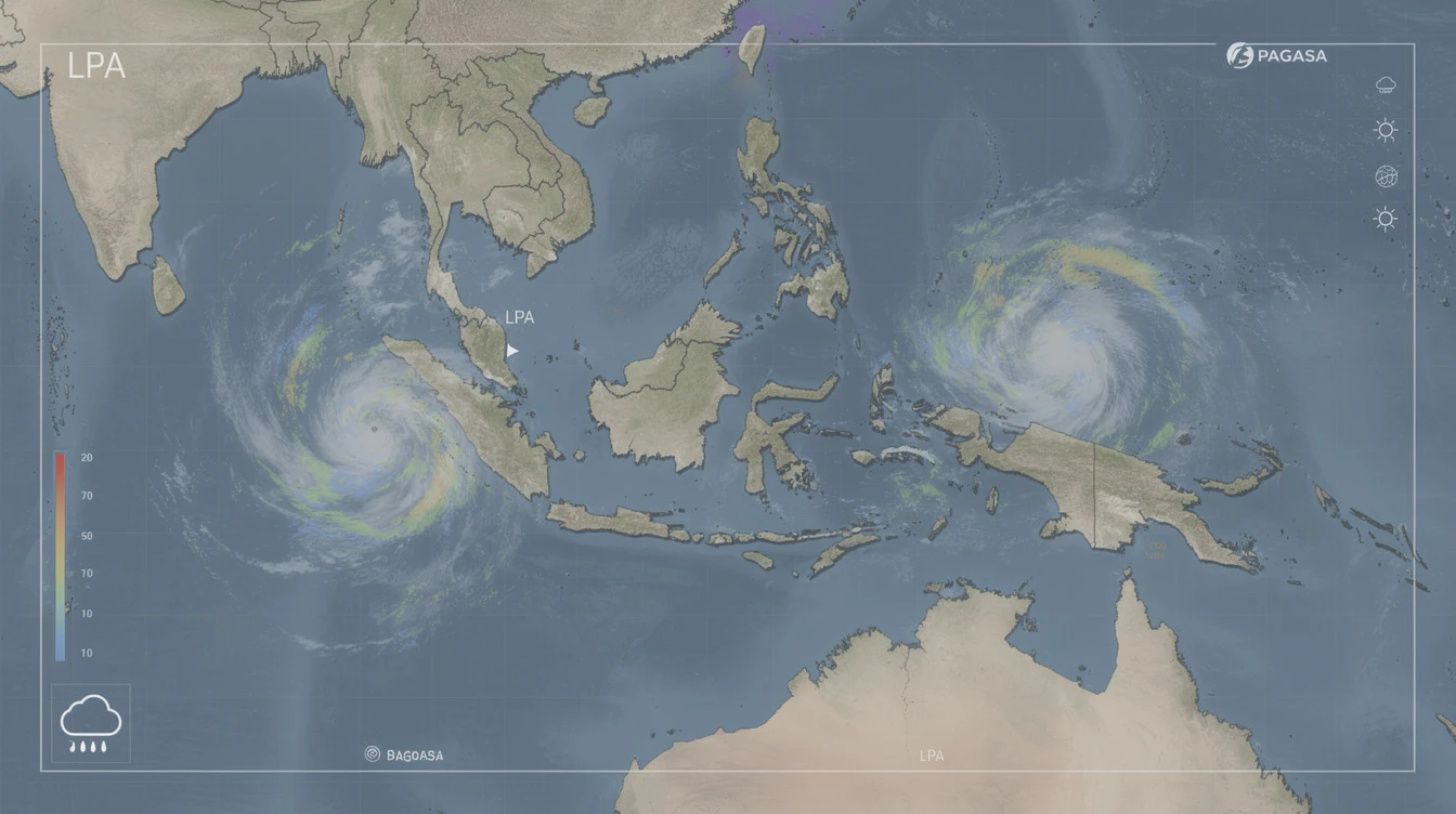
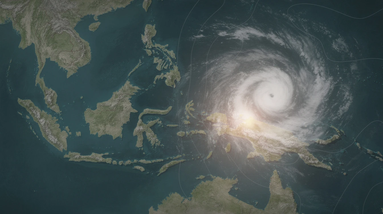
In addition to the easterlies, a Low Pressure Area (LPA) was monitored near Zamboanga del Norte on Friday. The LPA and easterlies are expected to continue bringing cloudy skies over parts of the country.
While the LPA is not yet a tropical cyclone, it enhances rain in Mindanao . Residents in these areas should remain alert for sudden weather changes.
The primary risk from the easterlies is isolated flash floods and landslides during severe thunderstorms. PAGASA advises local disaster offices to stay on standby.
Urban areas like Metro Manila may experience street flooding in low-lying zones. Rural communities near mountain slopes face higher landslide risks.
Last year, similar weather patterns caused minor flooding in CALABARZON and Bicol . Preparedness can minimize damage.
PAGASA weather specialist Grace Castañeda emphasized that these conditions are typical for this time of year. "The easterlies are normal for February, but we advise the public to stay updated," she said.
She recommends carrying umbrellas and monitoring PAGASA’s social media for updates. Avoid crossing flooded areas during thunderstorms.
For those in coastal zones, check sea conditions before heading out. Safety first remains the mantra.
Easterlies are winds from the east, while monsoons are seasonal wind shifts. Easterlies bring warm, moist air and scattered rain, unlike the heavy downpours of a monsoon.
Yes, especially when combined with severe thunderstorms. Flash floods may occur in low-lying areas. PAGASA advises vigilance during heavy rain.
According to forecasts, the easterlies will persist through the weekend. Check daily updates from PAGASA for changes.
The easterlies serve as a reminder that Philippine weather is dynamic. While cloudy skies and isolated rains are manageable, severe thunderstorms pose real risks.
Cloudy
Looking ahead, PAGASA expects the LPA near Zamboanga del Norte to dissipate within days. However, the easterlies may continue into next week, especially over eastern provinces.
Stay connected with reliable sources and prepare for sudden changes. For more weather tips, visit PinoyPulse Weather and learn about Preparedness.