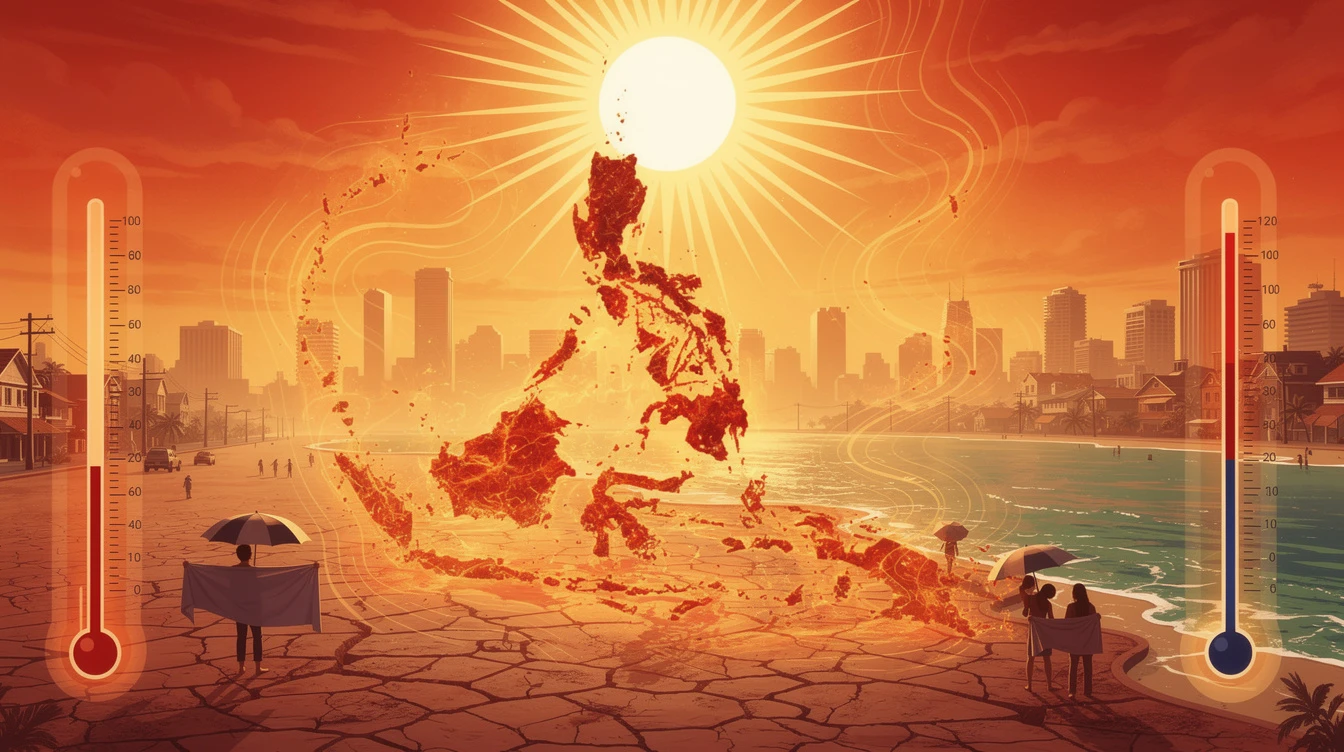
PAGASA warned the public that scattered rains and possible thunderstorms could trigger flash floods and landslides in vulnerable areas, particularly in Mindanao, where easterlies are expected to bring more persistent precipitation.
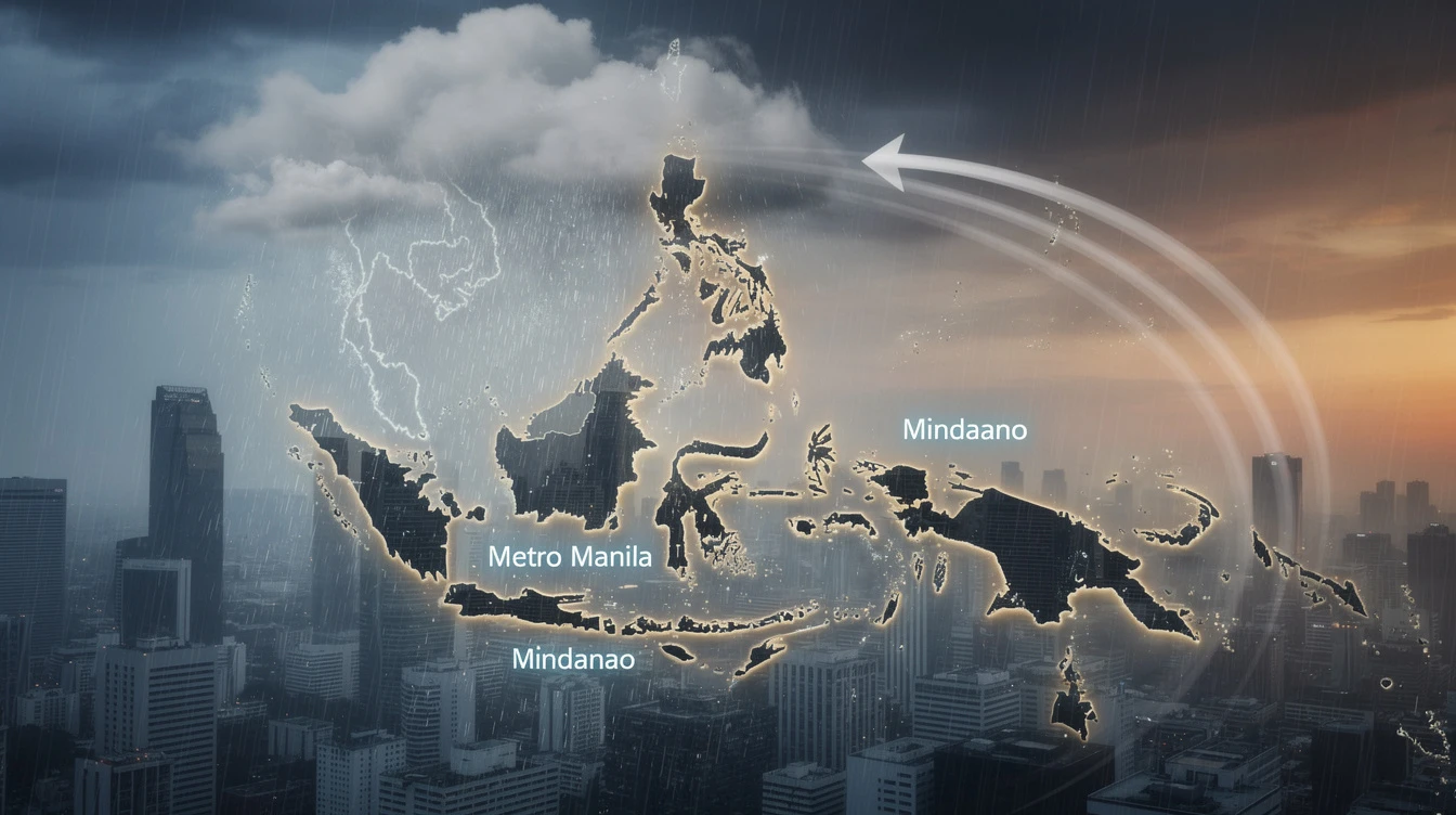
Areas Most Affected by Easterlies
Metro Manila will see partly cloudy to cloudy skies with isolated rainshowers or thunderstorms. The rest of the country, including Luzon, Visayas, and Mindanao, will experience similar weather patterns. PAGASA earlier reported that the easterlies will also bring scattered rains over parts of Visayas and Mindanao, with possible thunderstorms and moderate to heavy rainfall in some areas.
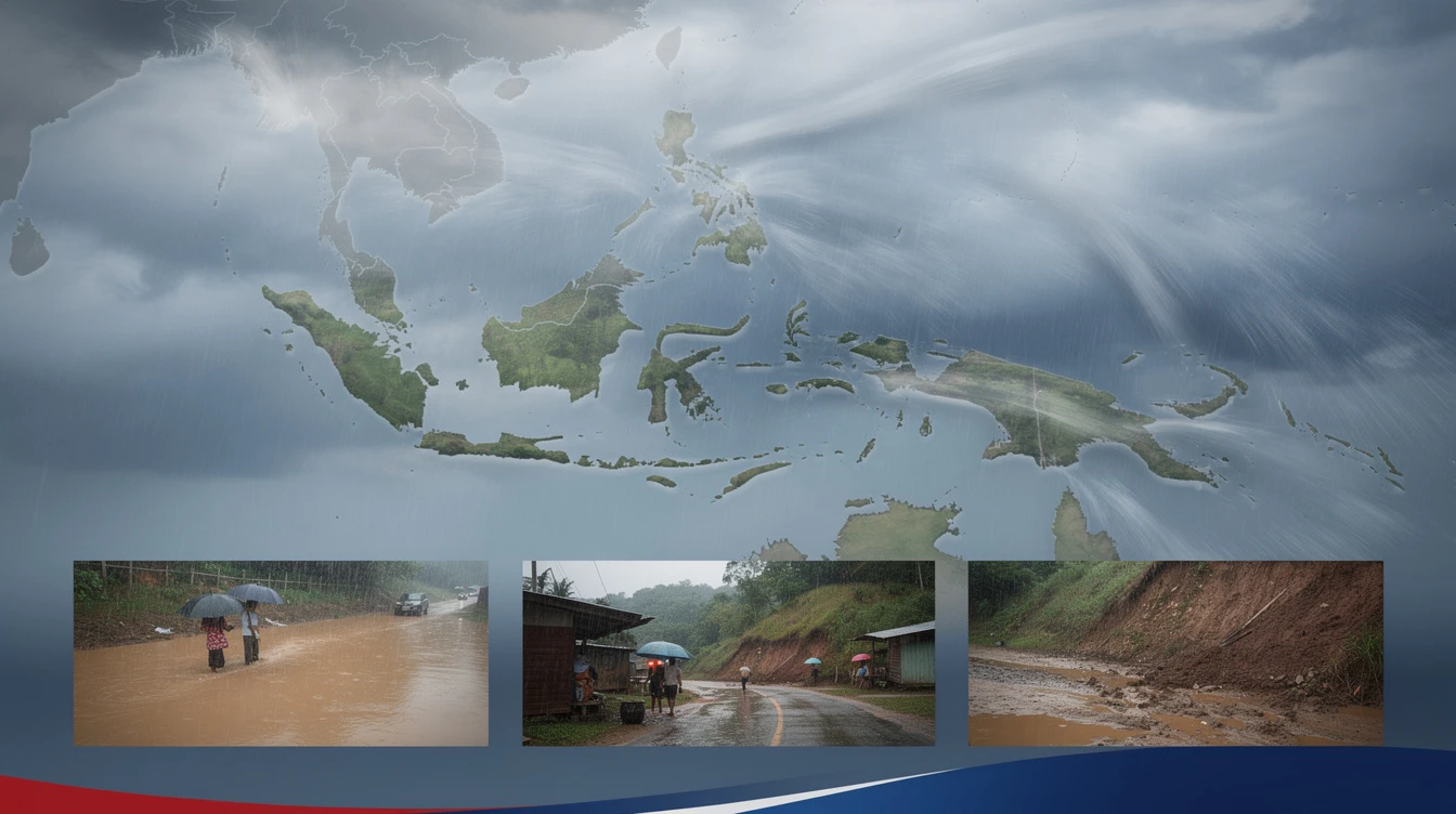
Flash Flood and Landslide Risks
PAGASA issued a stern warning on January 9, 2026, urging residents in low-lying and mountainous areas to be vigilant against flash floods and landslides. The state bureau emphasized that scattered rains and thunderstorms could lead to sudden flooding and soil erosion, especially in Mindanao and other regions already saturated by previous rainfall events.
No Tropical Cyclone Formation Expected
Despite the active easterlies, PAGASA clarified that as of 2 a.m. Wednesday, no low pressure areas are being monitored for tropical cyclone development. This means the current weather disturbances are solely due to the easterlies, not a tropical depression or storm. However, the bureau continues to monitor the Pacific for any potential cyclones.
Wind and Sea Conditions
Luzon and the rest of the country will experience light to moderate winds, with slight to moderate coastal water conditions. PAGASA advised small boat operators and fishers to exercise caution, particularly in areas where moderate seas may occur, such as the eastern seaboard facing the Pacific Ocean.
Shear Line and Amihan Interaction
In a separate advisory, PAGASA also noted that ashear line—where cold winds from the northeast (amihan) meet warm easterlies—could bring additional rains across the Philippines. This interaction increases the risk of heavy precipitation in parts of Luzon, as reported by the Manila Bulletin. The shear line, combined with easterlies, may cause prolonged rainfall in some areas.
Significance for Filipino Readers
This weather pattern affects millions of Filipinos, from daily commuters in Metro Manila to farmers in Visayas and Mindanao. The scattered rains and potential thunderstorms mean disrupted travel, possible crop damage, and heightened risks in disaster-prone barangays. PAGASA’s warnings serve as a critical reminder for local government units to prepare evacuation plans and for individuals to stay updated through official channels. Understanding the easterlies’ impact helps Filipinos plan their days and safeguard their properties.
Frequently Asked Questions
1. What are easterlies?
Easterlies are warm winds blowing from the east, originating from the Pacific Ocean. They typically bring moist air and can cause clouds, rain, and thunderstorms over the Philippines, especially during the months of May to September.
2. Is there a typhoon approaching the Philippines?
No, PAGASA reports that as of Wednesday, no low pressure areas are being monitored for tropical cyclone formation. The current rains are solely due to easterlies and a shear line.
3. Which areas are at highest risk of flash floods and landslides?
Mindanao and parts of Visayas are at highest risk due to scattered rains and thunderstorms. Low-lying and mountainous areas in these regions should be particularly cautious.
4. How can I stay safe during easterly-induced rains?
Monitor PAGASA updates, avoid flood-prone areas, secure loose objects, and prepare emergency kits. If you live in a landslide-prone area, heed local government warnings and evacuate if advised.
For more weather updates, visit thePinoyPulse Weather Section. Learn more aboutus and our mission to keep Filipinos informed. External resources:GMA News andManila Bulletin.