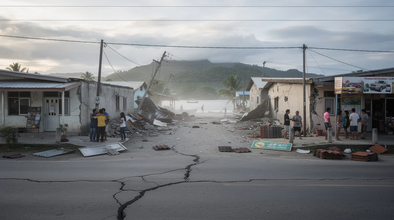
A magnitude 6.0 earthquake struck 20 kilometers northeast of San Julian, Eastern Samar on Monday, May 4, 2026, at 2:09 p.m., the Philippine Institute of Volcanology and Seismology reported. The tremor, initially measured at magnitude 6.1, was downgraded to magnitude 6.0 later that afternoon.
The earthquake originated at a depth of approximately 73 kilometers, according to the United States Geological Survey. Phivolcs stated that the considerable depth of the tremor helped reduce potential surface damage compared to shallower quakes of similar magnitude.
Intensity Reports
Phivolcs recorded Intensity V in Can-Avid and San Julian in Eastern Samar, as well as Dulag, Alangalang, and Tacloban City in Leyte. Intensity V is described as strong shaking that can cause slight damage to vulnerable structures and can be felt by most people indoors.
We felt strong shaking inside our school building. We immediately conducted an evacuation as part of our earthquake preparedness protocols, said Can-Avid District Supervisor Maria Santos in a radio interview.
Intensity III shaking was reported in Bulusan and Sorsogon City in Sorsogon; Naval in Biliran; Hernani in Eastern Samar; and several towns in Leyte including Albuera, Baybay, Hilongos, Isabel, Villaba, and Ormoc City. Residents in these areas reported noticeable shaking of objects indoors.
Intensity II was felt in Tabaco, Albay; Carcar and Cebu City in Cebu; Sta. Maria in Davao Occidental; and Passi City in Iloilo. People in these locations reported mild shaking that was felt by some individuals at rest.
Regional Context
The Philippines lies along the Pacific Ring of Fire, a horseshoe-shaped belt in the Pacific Ocean where about 90 percent of the world's earthquakes occur. The country experiences thousands of seismic events annually due to the interaction of several tectonic plates, including the Philippine Sea Plate, Eurasian Plate, and Sunda Plate.
Eastern Samar and surrounding provinces in the Visayas region are particularly susceptible to earthquakes due to their proximity to the Philippine Fault Zone and the Philippine Trench. The Philippine Trench, which runs along the eastern coast of the Philippines, is a major source of seismic activity in the region.
Government Response
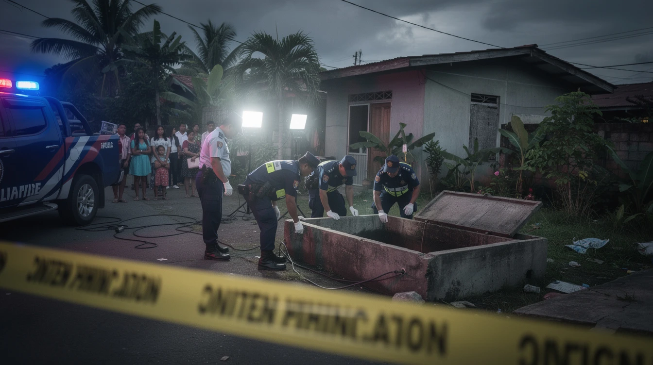
Local government units in affected areas activated their disaster risk reduction and management protocols following the earthquake. Municipal offices, schools, and public buildings conducted immediate evacuation procedures as a precautionary measure.
The Regional Disaster Risk Reduction and Management Council in Eastern Visayas coordinated with provincial and municipal disaster councils to assess the situation. Initial reports from barangays indicated no major infrastructure damage, though local officials continued monitoring critical structures such as schools, hospitals, and government buildings.
Phivolcs stated it would continue monitoring for aftershocks following the seismic event. The agency advised residents in affected areas to remain vigilant and prepared for possible aftershocks in the coming hours and days.
Aftershock Potential
According to Phivolcs, moderate to strong earthquakes can generate aftershocks that may continue for several days to weeks following the main event. These aftershocks typically decrease in frequency and intensity over time but can still cause concern among residents.
Seismologists noted that the depth of Monday's earthquake may limit the intensity and frequency of aftershocks compared to shallow-focus events. However, they emphasized that residents should remain prepared and monitor official advisories from Phivolcs.
The agency reminded the public that the Philippines is among the most earthquake-prone countries in the world. Communities are encouraged to maintain earthquake preparedness plans, secure heavy furniture and appliances, and identify potential safe spots in homes and workplaces.
Historical Seismic Activity
The affected region has experienced significant earthquakes in the past. In 2013, a magnitude 7.2 earthquake struck Bohol and Cebu, causing more than 100 deaths and widespread destruction. The Visayas region has also recorded multiple strong earthquakes in recent decades due to its complex tectonic setting.
Phivolcs has been working to improve earthquake monitoring and early warning capabilities across the country. The agency operates a network of seismic stations that provide real-time data for earthquake detection and rapid assessment.
Emergency management officials in Eastern Samar stated they would continue coordinating with national agencies to ensure readiness for any developments following the earthquake.
The public is advised to follow official updates from Phivolcs and local disaster management offices regarding this seismic event and any potential aftershocks.