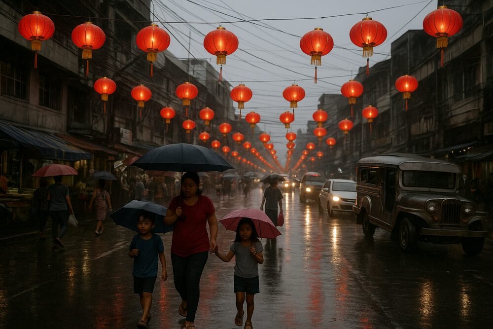
As red lanterns flickered to life and families gathered to welcome the Lunar New Year, much of the Philippines did so under a blanket of cloudy skies and intermittent rain, the result of three weather systems converging over the archipelago in mid-February.
The Philippine Atmospheric, Geophysical and Astronomical Services Administration (PAGASA) reported that the northeast monsoon, a shear line, and easterly winds were simultaneously influencing large parts of the country on February 14, tempering outdoor festivities with overcast conditions and scattered downpours. While the weather dampened some celebrations, authorities stressed that no severe threats loomed: no gale warnings were issued and no low-pressure systems were expected to develop in the days immediately following the holiday.
Three Weather Systems in Play
At a 5 a.m. weather briefing on Valentine’s Day, PAGASA outlined how each system would shape conditions across the islands.
“The northeast monsoon is expected to bring overcast skies and isolated rain showers to Batanes, [Cagayan], and [Ilocos],” said weather specialist Loriedin de la Cruz-Galicia.
Further south, a shear line — the collision zone where warm and cool air masses meet — intensified cloud formation and rainfall across a wide corridor of Luzon. “The shear line, which is the meeting point of warm and cool air masses, will lead to cloudy conditions with a high likelihood of rain in [Cagayan], Isabela, Aurora, Camarines Norte, Nueva Ecija, Bulacan, Rizal, Quezon Province, and [Marinduque],” de la Cruz-Galicia explained.
In Mindanao, easterly winds streaming in from the Pacific carried moisture inland. “Easterly winds from the Pacific Ocean will contribute to cloudy skies and intermittent rain showers and thunderstorms across [Davao], Davao Occidental, Basilan, Sulu and Tawi-Tawi,” she added.
Metro Manila and much of the remaining areas in Luzon were spared sustained rainfall but faced unsettled skies. “Generally pleasant weather is forecasted for the remainder of Luzon, including Metro Manila, with the possibility of rain showers and localized thunderstorms,” she said, noting that warmer temperatures were likely except in higher elevation areas.
Warm Days, Wet Evenings
Despite the rain-bearing systems, February temperatures remained within seasonal norms, averaging 24°C to 30°C (75°F to 86°F). In many areas, conditions were slightly warmer than in previous weeks — an early hint of the approaching dry season.
The combination of heat and humidity, punctuated by localized downpours, created a pattern familiar to Filipinos: bright mornings giving way to sudden afternoon showers. On February 17, forecasters reported generally fair weather nationwide, though isolated rain persisted in some localities during the Chinese New Year celebrations.
Authorities emphasized that the rainfall, while inconvenient for street festivities and travel, did not approach hazardous levels. Coastal communities received reassurance as no gale warnings were raised in any seaboard.
Impact on Travel, Trade and Agriculture
For commuters and transport operators, the shear line’s reach across Central and Eastern Luzon translated into slow-moving traffic and potential delays. Rain-slicked roads and reduced visibility complicated journeys at a time when shopping districts and ancestral homes typically see increased foot traffic.
The tourism and hospitality sectors, which benefit from Lunar New Year gatherings and regional travel, closely monitored PAGASA bulletins. While widespread cancellations were not reported, intermittent rain likely dampened some outdoor performances and public celebrations.
In agricultural regions, particularly parts of eastern Mindanao where above-normal rainfall is forecast from February through May, farmers face a mixed outlook. Increased rainfall can replenish water tables but also disrupt planting and harvesting schedules if prolonged.
A Broader 2026 Weather Outlook
The mid-February weather patterns form part of a wider meteorological picture for 2026. PAGASA has projected that up to eight tropical cyclones could enter or develop within the Philippine Area of Responsibility in the first half of the year.
Monthly estimates suggest:
0 or 1 storm in January, February, March and April;
1 or 2 storms in May and June.
“Up to eight tropical cyclones are expected to hit the country in the first six months of 2026,” the state weather bureau said in its seasonal outlook.
Looking ahead to the traditional warm season, PAGASA warned of intensifying heat. “A gradual warming trend is expected from March onwards, with above to way above normal temperature becoming more prevalent during the peak of the warm season (April-May),” the agency stated.
Preparedness Over Alarm
Even as multiple systems converged during one of the country’s most culturally significant holidays, the absence of severe storm warnings underscored the difference between inconvenience and crisis. The skies may have been grey, but the broader forecast offered reassurance.
For millions marking the Lunar New Year, umbrellas replaced sun hats and celebrations moved under cover. Yet the message from forecasters was measured: vigilance remains essential in a cyclone-prone nation, but for now, the rain clouds hovering over February’s festivities signal seasonal transition rather than impending storm.