Warm winds from the Pacific Ocean are once again steering the country’s weather, as the Philippine Atmospheric, Geophysical and Astronomical Services Administration (PAGASA) said easterlies will bring generally fair but humid conditions with isolated rain showers and localized thunderstorms across the Philippines in the coming days.
While no tropical cyclones or low-pressure areas are being monitored inside the Philippine Area of Responsibility (PAR), state forecasters are urging the public to prepare for brief but sometimes intense downpours, particularly in the afternoons and evenings. For now, seas remain manageable, and no gale warnings have been issued.
Warm, Humid Days With Sudden Showers
“Warm and humid conditions are expected to prevail across the Philippines as the easterlies, or warm winds coming from the Pacific Ocean, continue to be the dominant weather system in the country,” PAGASA Weather Specialist Chenel Dominguez said on February 25.
The pattern means sunny mornings that can quickly give way to towering clouds by late afternoon — the type that drench neighborhoods in sudden bursts of rain before clearing as quickly as they formed. PAGASA said most areas will experience partly cloudy to cloudy skies with isolated rain showers or thunderstorms, particularly from noon through early evening.
Forecast temperatures from February 26 to March 1 reflect the seasonal warmth:
Metro Manila: 22°C to 30°C
Baguio City: 15°C to 25°C
Laoag City: 23°C to 31°C
Tagaytay: 20°C to 29°C
Metro Cebu: 24°C to 32°C
Metro Davao: 24°C to 32°C
Zamboanga City: 24°C to 34°C
Similar daytime highs are expected in Puerto Princesa, Bacolod, Iloilo, and Valencia City. PAGASA has warned that heat indices may feel higher due to humidity, particularly in densely built urban centers.
No Storms in Sight, Calm Seas for Fisherfolk
In an outlook that offers relief to coastal communities, PAGASA confirmed it is not monitoring any tropical cyclones or low-pressure areas within PAR. Sea conditions across the country’s seaboards remain light to moderate, making it safe for small boats to venture out.
For fisherfolk and small-scale boat operators — many of whom depend on daily trips for income — the absence of gale warnings translates to uninterrupted livelihoods. Under existing maritime safety regulations, including the Philippine Merchant Marine Act, operators must still observe caution, but current forecasts indicate no exceptional hazards.
Looking ahead, PAGASA projects up to eight tropical cyclones may enter or develop within PAR during the first half of 2026. However, activity is typically sparse in the first quarter, with zero to one cyclone forecast per month from January through April.
Possible Return of the Amihan
Forecasters are also tracking a potential, though weaker, resurgence of the amihan, or northeast monsoon, which may influence parts of Luzon over the weekend.
“The amihan may return and affect parts of Luzon over the weekend, although temperatures are not expected to become as cold as during previous monsoon surges,” PAGASA said.
Any resurgence of the monsoon is expected to be mild and temporary, offering only slight cooling in northern areas without significantly altering the broader warm pattern.
Transition From La Niña Underway
The current weather setup unfolds as the country transitions from a weak La Niña toward ENSO-neutral conditions. In its February 23 update, PAGASA said there is a 60 percent chance La Niña conditions will shift to neutral between February and April 2026.
Above-normal subsurface temperatures in the equatorial Pacific indicate a gradual easing of La Niña’s influence. For the Philippines, this often translates to fewer widespread heavy rains but sustained warmth, especially as the country approaches the traditional hottest months.
PAGASA expects near-normal to above-normal temperatures from March onward, with peak heat typically arriving in April and May.
Daily Life Under the Easterlies
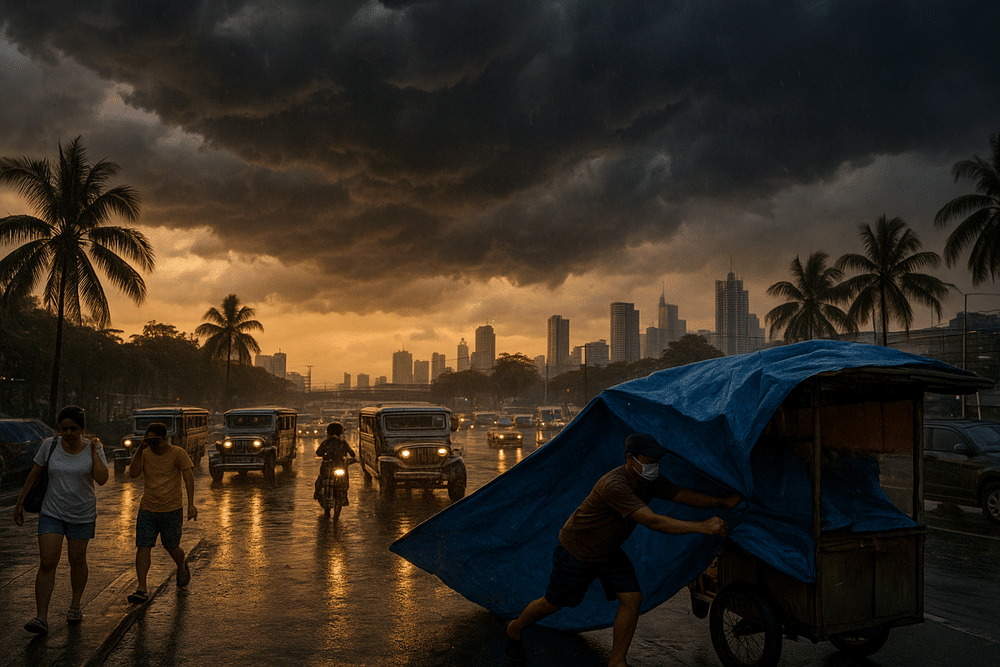
For many Filipinos, the easterlies mean adjusting daily routines. In Metro Manila, commuters contend with stifling midday heat before scrambling for cover during sudden late-day downpours. Street vendors keep tarpaulins within reach. Office workers monitor darkening skies as rush hour approaches.
In agricultural regions — particularly eastern portions of Luzon and the Visayas — isolated thunderstorms pose a more delicate challenge. While rain can benefit crops, abrupt and intense bursts may damage rice and vegetable farms, raising concerns about potential impacts on supply and market prices.
PAGASA Weather Division Chief Juanito S. Galang earlier underscored the prevailing pattern, saying, “Metro Manila and the rest of the country will be partly cloudy to cloudy apart from isolated rainshowers or thunderstorms due to the Easterlies.”
For now, the prevailing message from forecasters is one of vigilance rather than alarm: expect heat, anticipate brief rains, and monitor updates as seasonal patterns continue to evolve. Like a pendulum swinging toward summer, the atmosphere is shifting — steadily, and without storms on the immediate horizon.