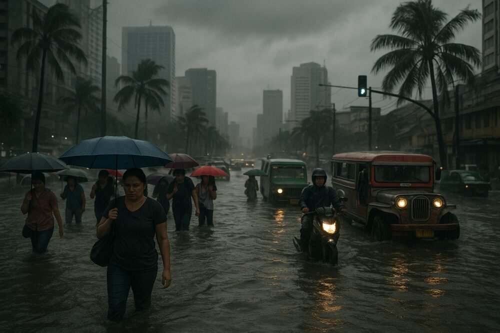
Cloudy skies and intermittent light rains are set to persist across much of Luzon and the Visayas this week as the shear line and the northeast monsoon, locally known as Amihan, continue to influence weather patterns across the Philippines, according to the Philippine Atmospheric, Geophysical and Astronomical Services Administration (PAGASA). While no tropical cyclones are expected in the immediate term, authorities have warned of localized flash floods and landslides in vulnerable areas.
In its 4:00 p.m. weather synopsis on February 17, PAGASA reported: “Northeast Monsoon affecting Northern Luzon. Easterlies affecting the rest of the country.” The combination of these systems is expected to bring partly cloudy to cloudy skies with isolated light to moderate rains through at least February 19.
Shear Line and Amihan Drive Current Weather
The shear line—where cold northeast monsoon winds converge with warmer easterlies—has been draping parts of Luzon and the Visayas in cloud cover and steady rain since early February. PAGASA issued Rainfall Advisory No. 16 at 5:00 a.m. on February 16 for Northern Luzon due to the shear line’s effects.
By 5:00 p.m. on February 17, Rainfall Advisory No. 1 was in effect for parts of Luzon, stating: “Light to Moderate rains are expected over #Abra… within the next 2 to 3 hours. Keep monitoring for updates.”
In the Visayas, thunderstorms have added intensity to otherwise light conditions. Thunderstorm Advisory No. 7, issued at 3:37 p.m. on February 17, warned that “Moderate to Heavy rainshowers with lightning and strong winds are expected over #Iloilo… within the next 1 to 2 hours.”
Temperatures remain relatively mild. Northern Luzon and the Visayas are recording averages between 23°C and 32°C. In Metro Manila, the maximum temperature reached 30.3°C, with a minimum of 23.5°C on February 17.
Flood and Landslide Risks in Saturated Areas
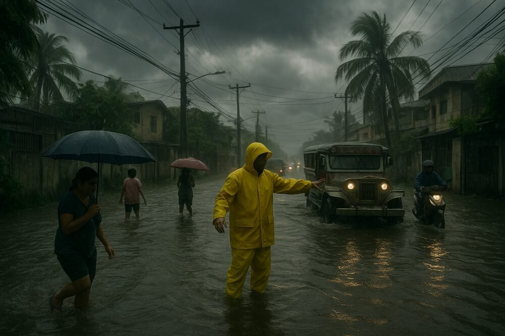
Although rainfall is generally classified as light to moderate, PAGASA has cautioned that localized flash floods and landslides remain possible, particularly in provinces already soaked by earlier downpours.
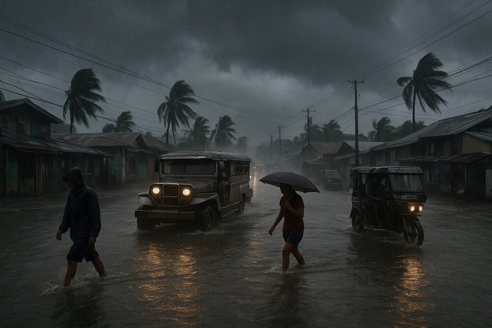
Between February 8 and 11, the shear line brought up to 50 to 100 millimeters of rain to parts of Luzon and the Visayas, affecting areas such as Zambales, Mindoro, Bicol, Catanduanes, Masbate, and Samar. Flooding was reported in Barangay Sab, Caramoran, Catanduanes, after sustained rainfall overwhelmed drainage systems.
With ground conditions still saturated in some provinces—including Cagayan, Isabela, and parts of Samar—even modest additional rainfall could trigger slope instability or urban flooding.
Rainfall Patterns Show Regional Imbalances
PAGASA’s sub-seasonal to seasonal (S2S) outlook for February 13 to 26 indicates a mixed rainfall pattern. Most of the country is projected to experience a 20 to 60 millimeter rainfall deficit. However, southern Northern Luzon and northern Central Luzon may see a 20 to 40 millimeter increase above average through February 19.
Looking ahead to February 20 to 26, forecasters expect 20 to 80 millimeters of additional rainfall in parts of the Visayas and Mindanao, while many Luzon provinces may remain below seasonal averages.
Despite the unsettled weather, PAGASA has not forecast any immediate tropical cyclones, though historical patterns suggest zero to one cyclone may enter the Philippine Area of Responsibility before the month ends.
Coastal Waters Turn Moderate to Rough
The northeast monsoon is also strengthening winds across northern and eastern sections of the country. PAGASA reports moderate to strong northeast winds at 15 to 25 kilometers per hour, producing coastal wave heights of 1.5 to 3.1 meters.
These conditions affect the eastern seaboard of Luzon and the Visayas, where small fishing vessels face hazardous seas. Rough waters may limit daily catch volumes, placing pressure on coastal livelihoods and potentially nudging seafood prices upward in local markets.
Daily Life Disruptions Remain Localized
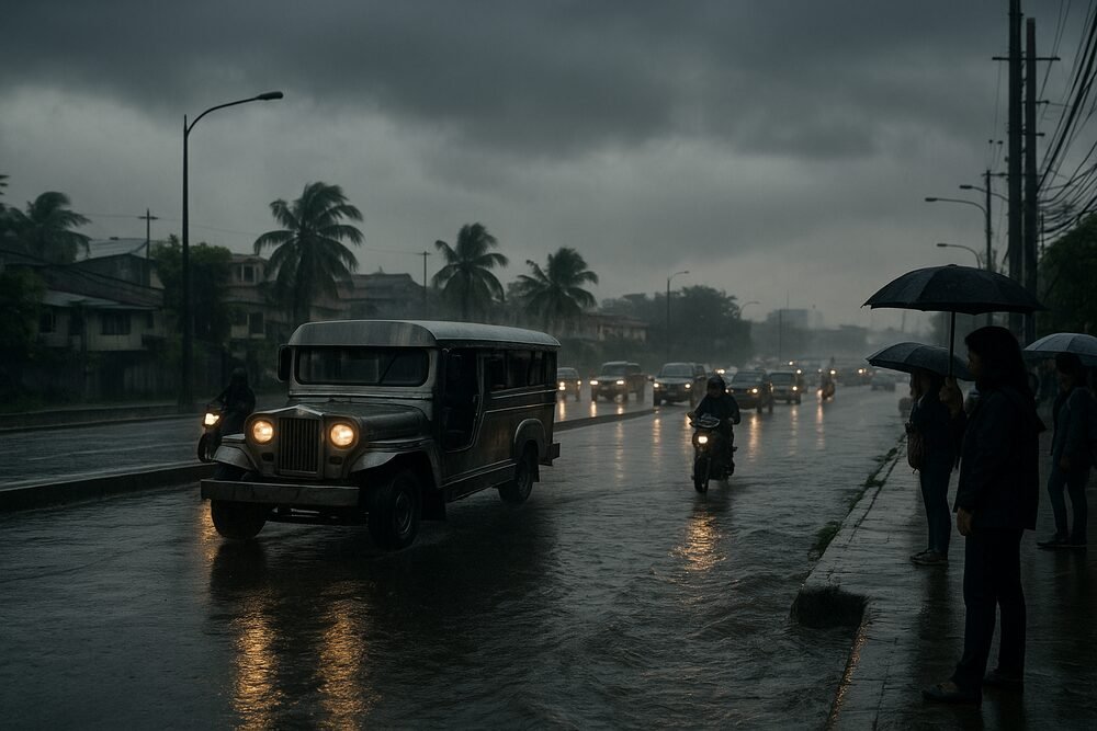
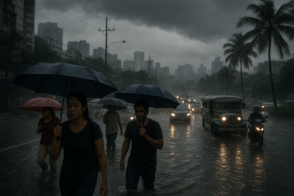
For residents, the impact is less dramatic but persistent. In urban centers such as Metro Manila, intermittent showers and slick roads have slowed commutes and disrupted outdoor work. In provinces like Iloilo and Samar, sudden thunderstorms can halt classes or delay transport routes with little warning.
Daily wage earners, market vendors, and construction workers are particularly sensitive to these shifts, weighing safety risks against lost income when advisories are issued.
Under Republic Act No. 11362, the Philippine Disaster Risk Reduction and Management Act of 2019, PAGASA is mandated to issue timely forecasts and warnings, while local government units coordinate preparedness and response. Authorities continue to urge residents in flood- and landslide-prone barangays to monitor official bulletins closely.
For now, the weather pattern resembles a slow-moving curtain—steady, unremarkable at first glance, yet capable of triggering isolated hazards where the land is most vulnerable. As Amihan persists over the country’s northern reaches, vigilance remains the most practical defense.
