Ridge of HPA Extends Over Northern, Central Luzon
The ridge of a high pressure area (HPA) continues to extend over Northern and Central Luzon this Monday, April 6, bringing generally clear skies to affected regions, the Philippine Atmospheric, Geophysical and Astronomical Services Administration (PAGASA) reported.
The state weather bureau explained that the ridge of HPA is characterized by a mass of cool, dry air that prevents the formation of cloud bands, significantly lessening the likelihood of rainfall in these areas.
What is a Ridge of High Pressure Area?
A ridge of high pressure area is generally associated with moderate to strong winds and stable atmospheric conditions. Its presence typically results in clearer skies and reduced cloud activity over the regions it covers.
Weather Conditions Expected in Affected Areas
For Northern Luzon, residents can expect:
- Generally clear skies throughout the day
- Less cloud formation compared to other regions
- Reduced chance of thunderstorm development
Meanwhile, Metro Manila and the rest of the country will experience partly cloudy to cloudy skies with isolated rainshowers or thunderstorms due to localized thunderstorm activity.
No Weather Disturbances Monitored
PAGASA has not monitored any weather disturbance forming inside or outside the country's area of responsibility in the coming days. Weather specialist Veronica Torres confirmed this in a 5 a.m. briefing, offering assurance of relatively stable weather conditions nationwide.
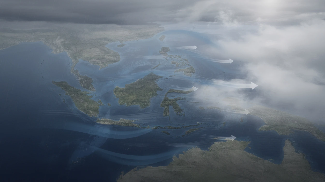
Metro Manila and Rest of PH to Experience Isolated Rains
While Northern and Central Luzon enjoy clearer weather, other parts of the country will see different conditions. The ridge of HPA extending over Luzon has created a division in weather patterns across the archipelago.
Localized Thunderstorms to Bring Afternoon Downpours
PAGASA explained that a localized thunderstorm refers to a small-scale, short-lived weather system that brings:
- Isolated heavy rains
- Lightning and thunder
- Gusty winds
- Occurrence over specific, small areas
These thunderstorms typically develop late in the afternoon or evening, bringing sudden downpours to localized areas.
Hot and Humid Weather Prevails
Generally, most parts of the country experience hot and humid weather throughout the day, with temperature rises expected during midday hours. The public should remain vigilant for isolated downpours that may occur during late afternoon or evening periods.
PAGASA Forecast and Marine Conditions
The weather bureau provided detailed forecasts for both atmospheric and marine conditions across the country, helping residents and maritime sectors prepare accordingly.
Wind and Sea Conditions
For Northern Luzon and the rest of the country, winds are expected to be:
- Light to moderate in strength
- Sea conditions: slight to moderate
These conditions are favorable for small boats and fishing activities, though mariners should still exercise caution during sudden thunderstorms.
Looking Ahead: Stable Weather Expected
PAGASA assures the public that no significant weather changes are anticipated in the near term. The absence of any tropical cyclones or low-pressure areas within the Philippine area of responsibility means Filipinos can expect generally stable weather conditions for the coming days.
Citizens are advised to stay updated with PAGASA's regular weather bulletins for any changes in forecasts, particularly during the transition to the rainy season expected in the coming months.